TMS offers a wide range of shallow water Geophysical and Geotechnical survey, including:
- Bathymetric survey within Riverside area and Nearshore area using Echosounder equipment
- Tidal observation in order to produce harmonic constants
- Seabed clearance survey using Side Scan Sonar
- Shallow seismic using Sub-bottom profiler equipment
- Marine Magnetic survey
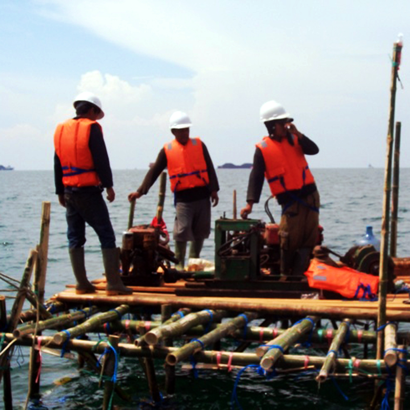
- Shallow water Geotechnical tests using bamboo/wood fix platform