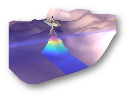
Bathymetry Survey/Hydrography Survey for study and mapping of seafloor topography. It involves obtaining measurements of the depth of the river, sea, ocean, etc, and is equivalent to mapping the topography on land.
Such measurements can be made using multibeam echo sounders, single-beam echosounder, etc.
Bathymetric data can be used for engineering purposes such as cable lay, pipelay, hazard survey, etc. It can be used for other purposes i.e identifying the shipwreck, etc.
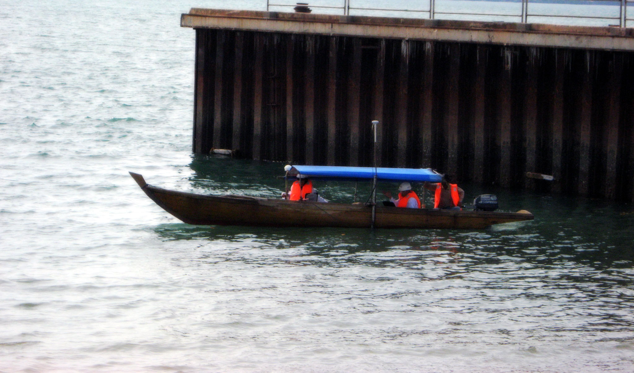
We provide Tide Monitoring and analyze tide constant of Mean Sea Level (MSL), Chart Datum (CD). Lowest Astronomical for practice purpose.