• Home
  • About Us
  • Equipment
  • Experience
  • Service
    • Geodesy/Geomatics Survey
      • Topographic Survey
      • Photogrammetry and LiDAR Survey
      • Spatial Data Processing (GIS)
      • Hydrographic Survey
    • Geotechnical Survey
    • Geophysical Survey
  • Contact Us
  • English
    • English
    • Bahasa Indonesia

Supporting Equipment
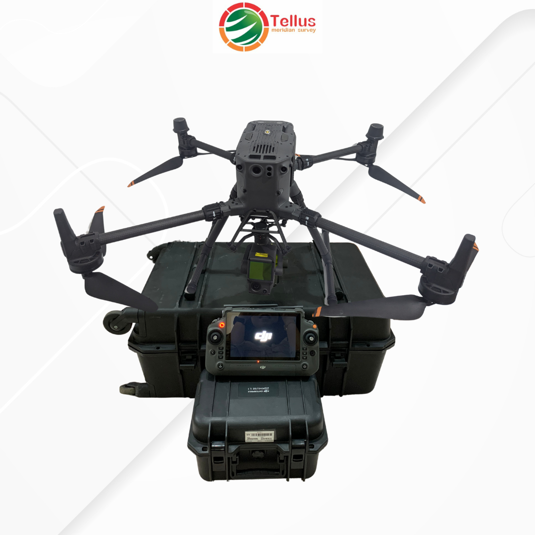
Visual Portfolio, Posts & Image Gallery for WordPress

DJI M 350 RTK

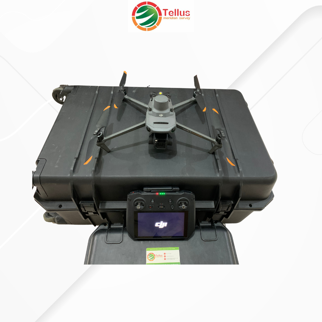
DJI Mavic 3 Enterprise

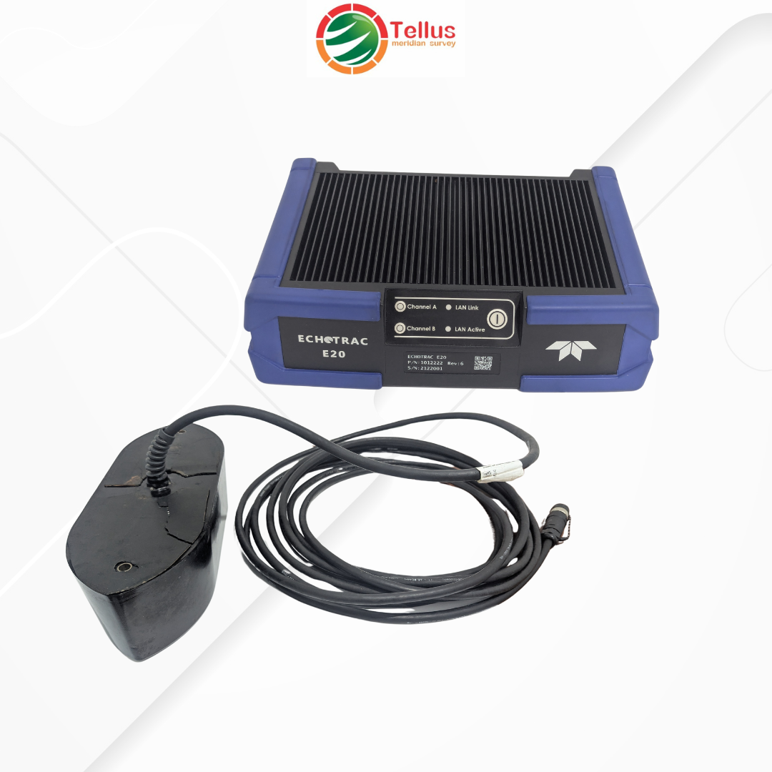
Teledyne Odom Echotrac E20 Singlebeam Echosounder

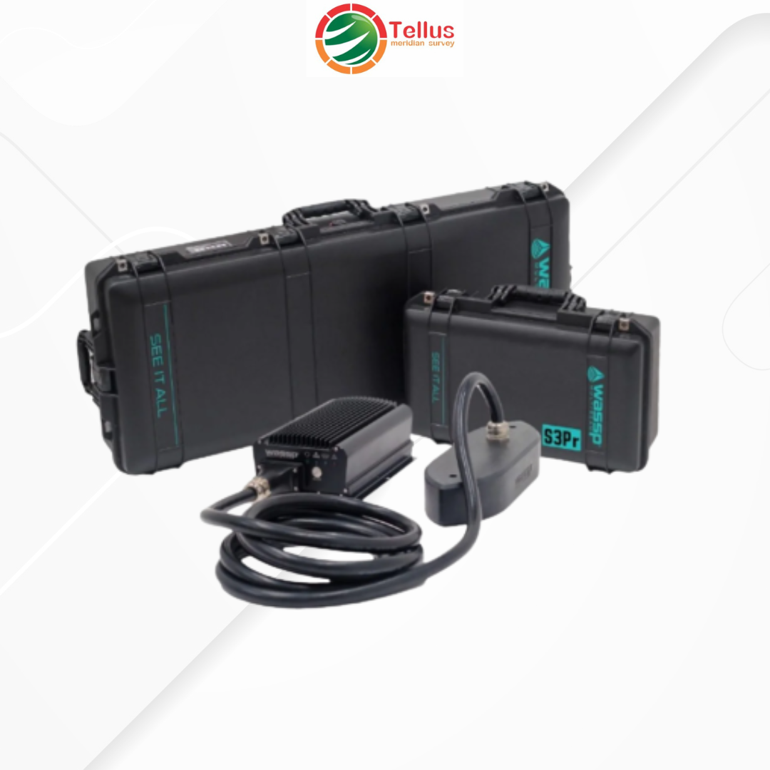
Multibeam Echosounder WASSP S3

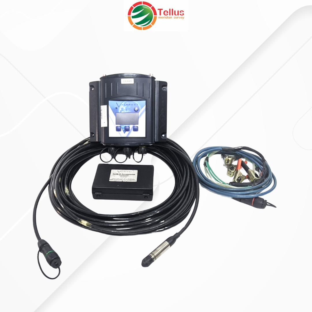
Valeport Tide Master

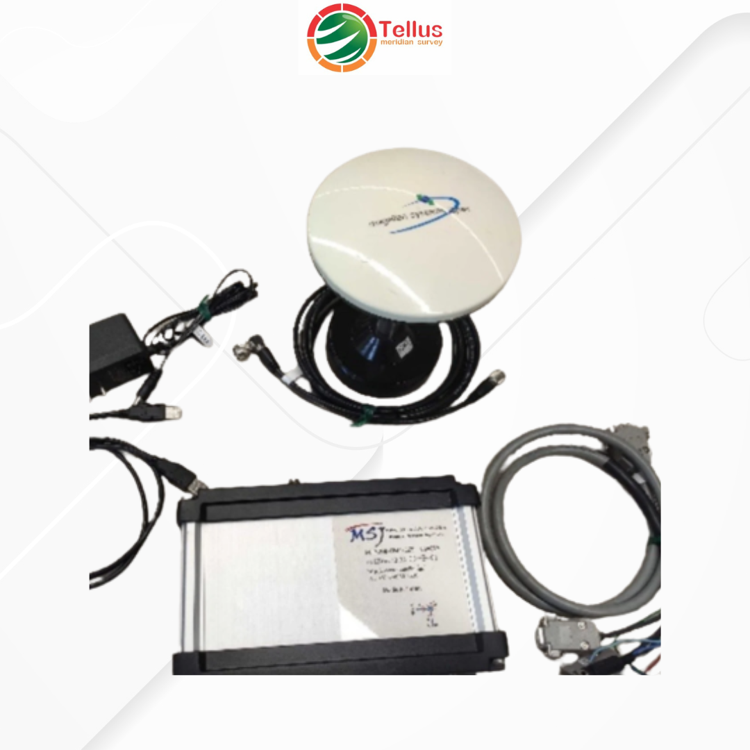
Magellan Systems Japan GNSS RT-PPP (Centimeter-Level Positioning System)

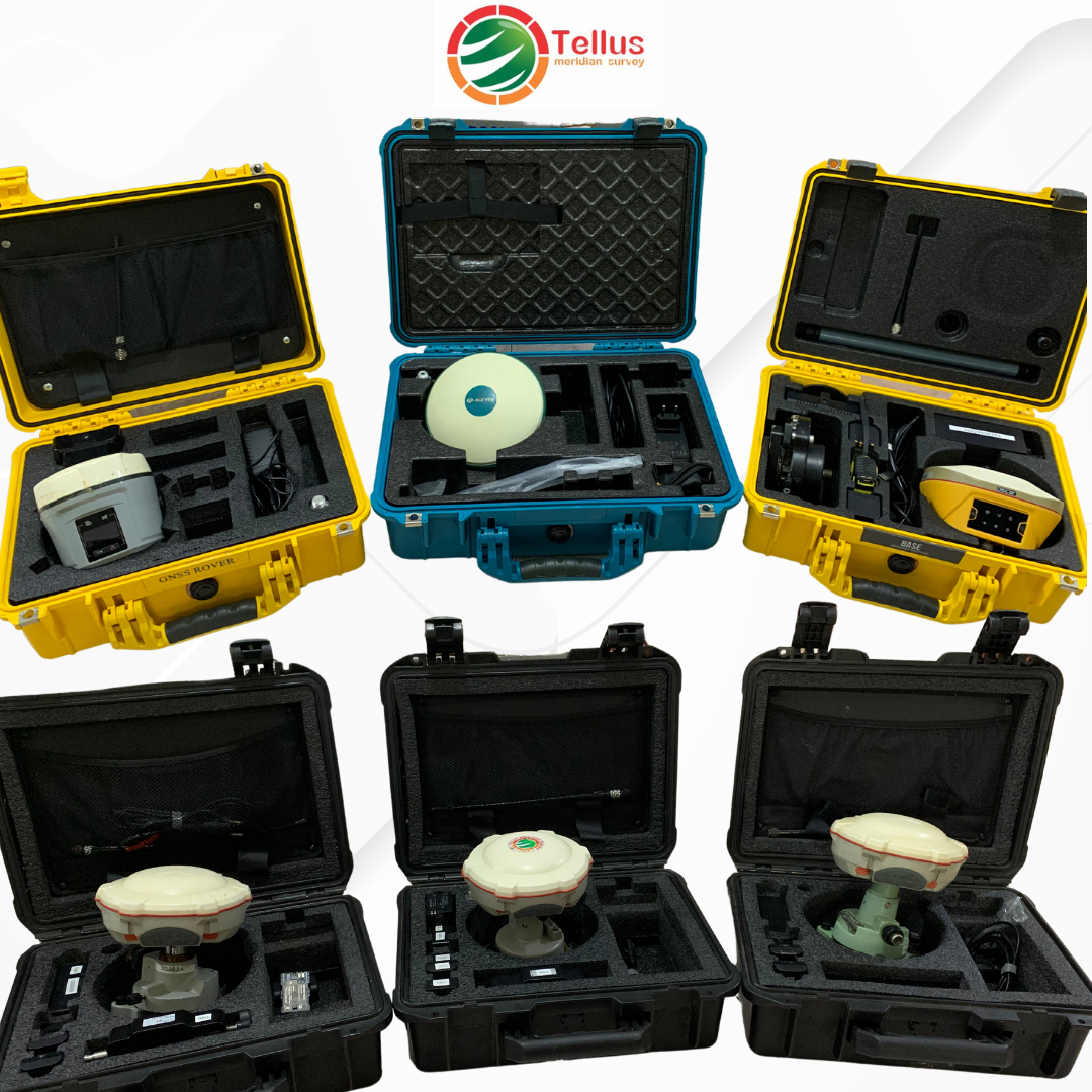
Global Navigation Satellite System

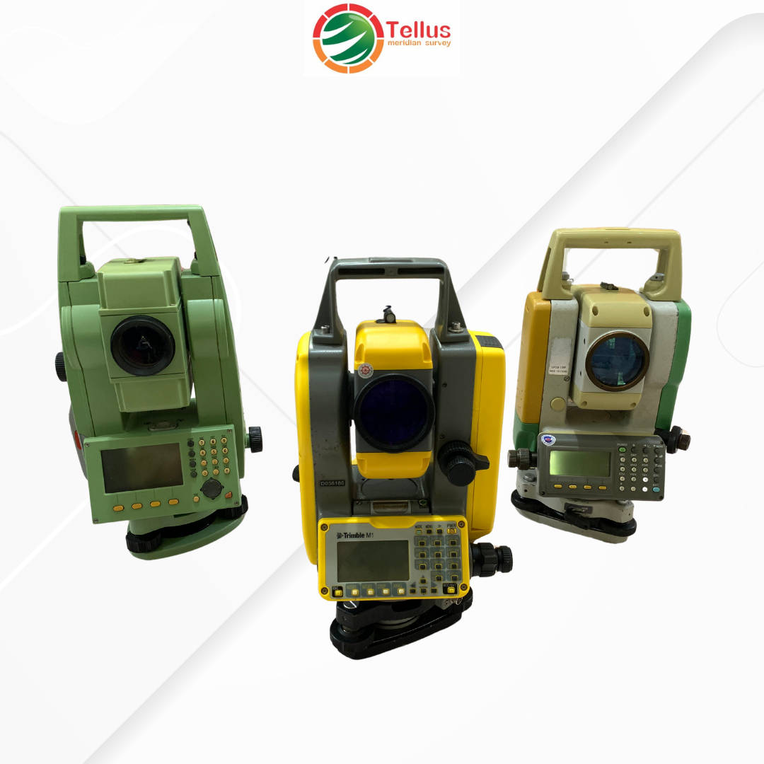
Electronic Total Station

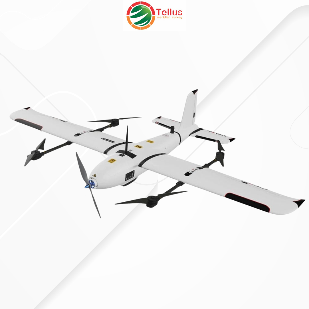
Fixwing Striver VTOL

Download Our Company Profile Now!

Download

PT. Tellus Meridian Survey

PT Tellus Meridian Survey (TMS) is a company that provides survey services in the fields of geodesy/geomatics, geotechnics, and geophysics that supports various industrial needs, infrastructure projects, and research activities.

Skill

Topographic Survey
Photogrammetry & LiDAR Survey
Spatial Data Processing (GIS)
Hydrographic Survey
Geotechnical Survey
Geophysical Survey

Our Address

Komplek DPRD/Baitussalam no.58B, Ciwastra. Bandung – Indonesia

0812 2232 3600

Copyright © Tellus Meridian Survey 2025