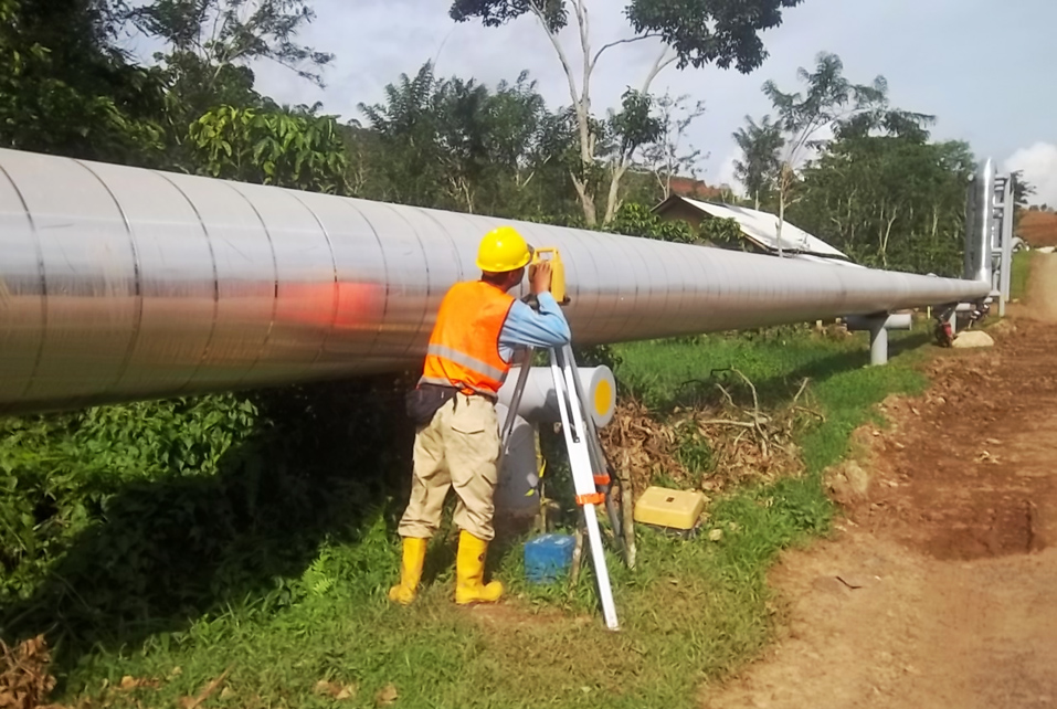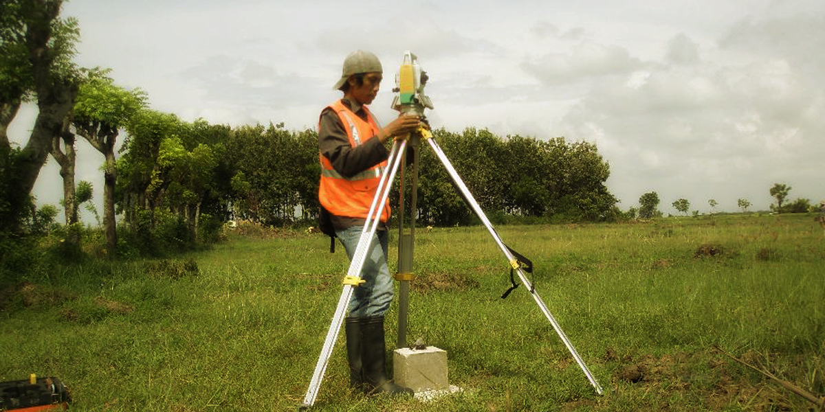
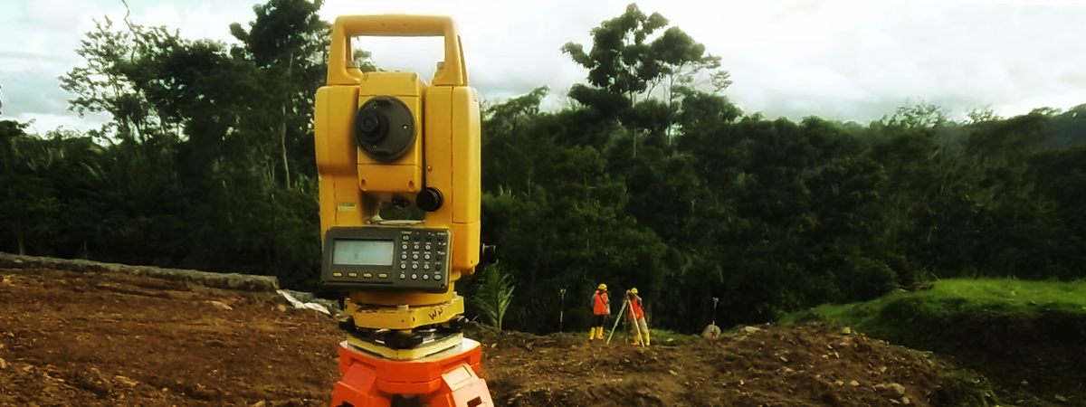
PT. Tellus Meridian Survey as a Survey Company in Indonesia provide Topographic Survey as the type of land survey used to determine the location of physical objects on the land including buildings, the slope or contours of the land, pathways, easements, water boundaries, vegetation, fences, and formed tracks which could be used as a right of way or access road on a multi-lot subdivision, etc.
Our services are included but not limit to:
- Topographic detail survey using Electronic Total Station or Real-Time Kinematic GNSS
- Vertical control point measurement
- Mine survey
- Aerial photography ground control survey
Final topographical survey drawings can be supplied in a number of different formats depending on Client requirements, such as hard copies on paper, or soft copies on DVD, all at standard scales. Digital information can be provided in either 2D or 3D in file formats and most other system formats.
It is our aim to provide products with high-quality standard that is exactly what Client want and can work with.