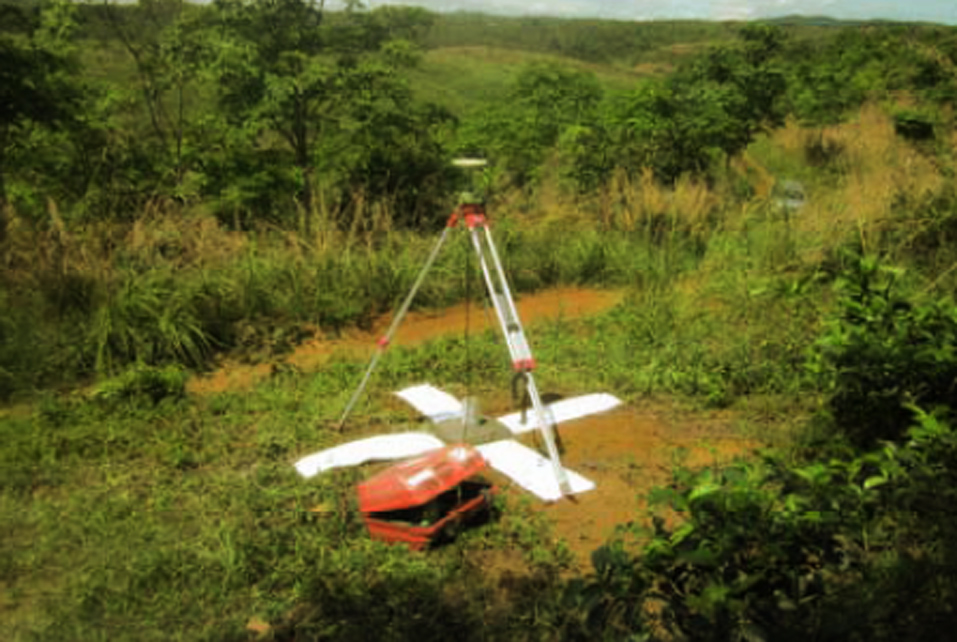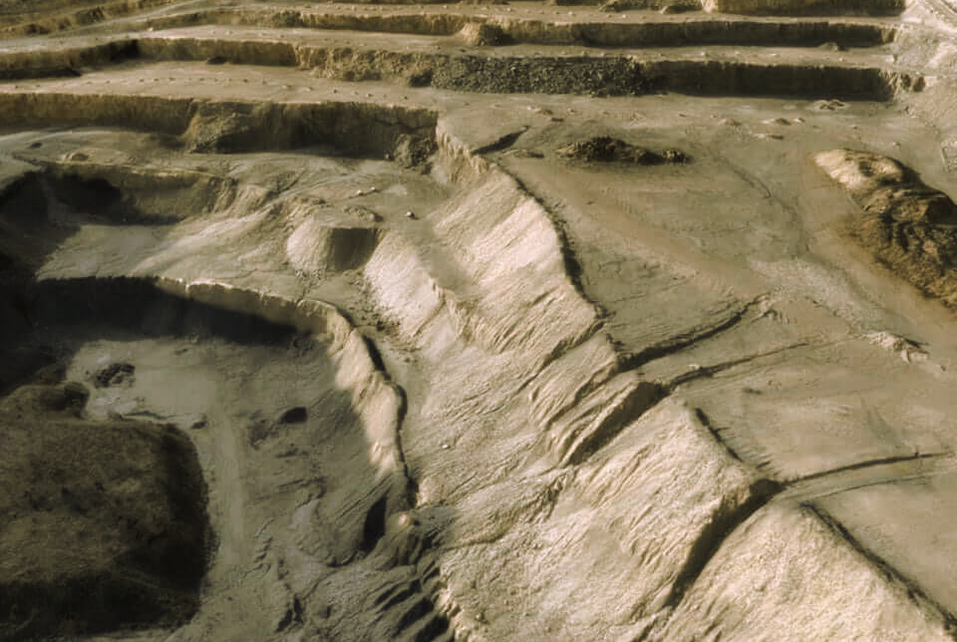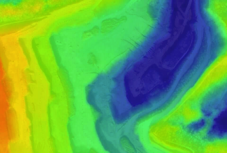
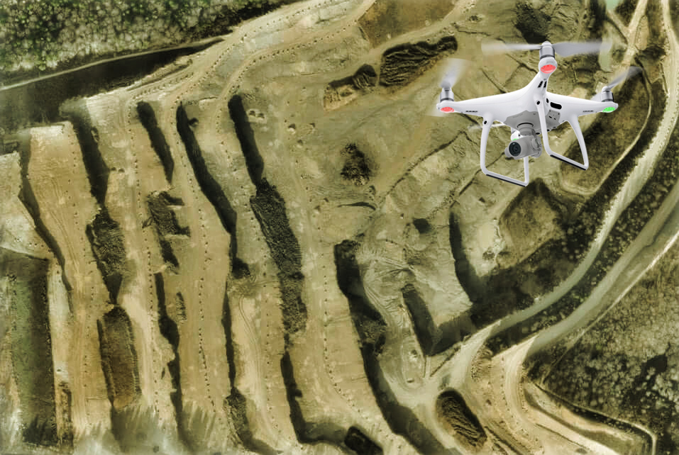
Photogrammetry UAV Survey/Aerial Mapping photography for mapping purposes using drones, compared to other vehicles such as manned aircraft or satellites has several advantages:
- Drones can be easily deployed for projects in certain areas, compared to the mobilization process required when using manned aircraft.
- Drones are very suitable for mapping with small to medium areas and have a much smaller minimum order compared to manned aircraft or satellites. Then, by using drones, the operational costs incurred are smaller. Finally, the drone can be operated at low altitudes (below 1,500 feet) to avoid clouds and to obtain higher image resolution.