About Tellus Meridian Survey
About Us
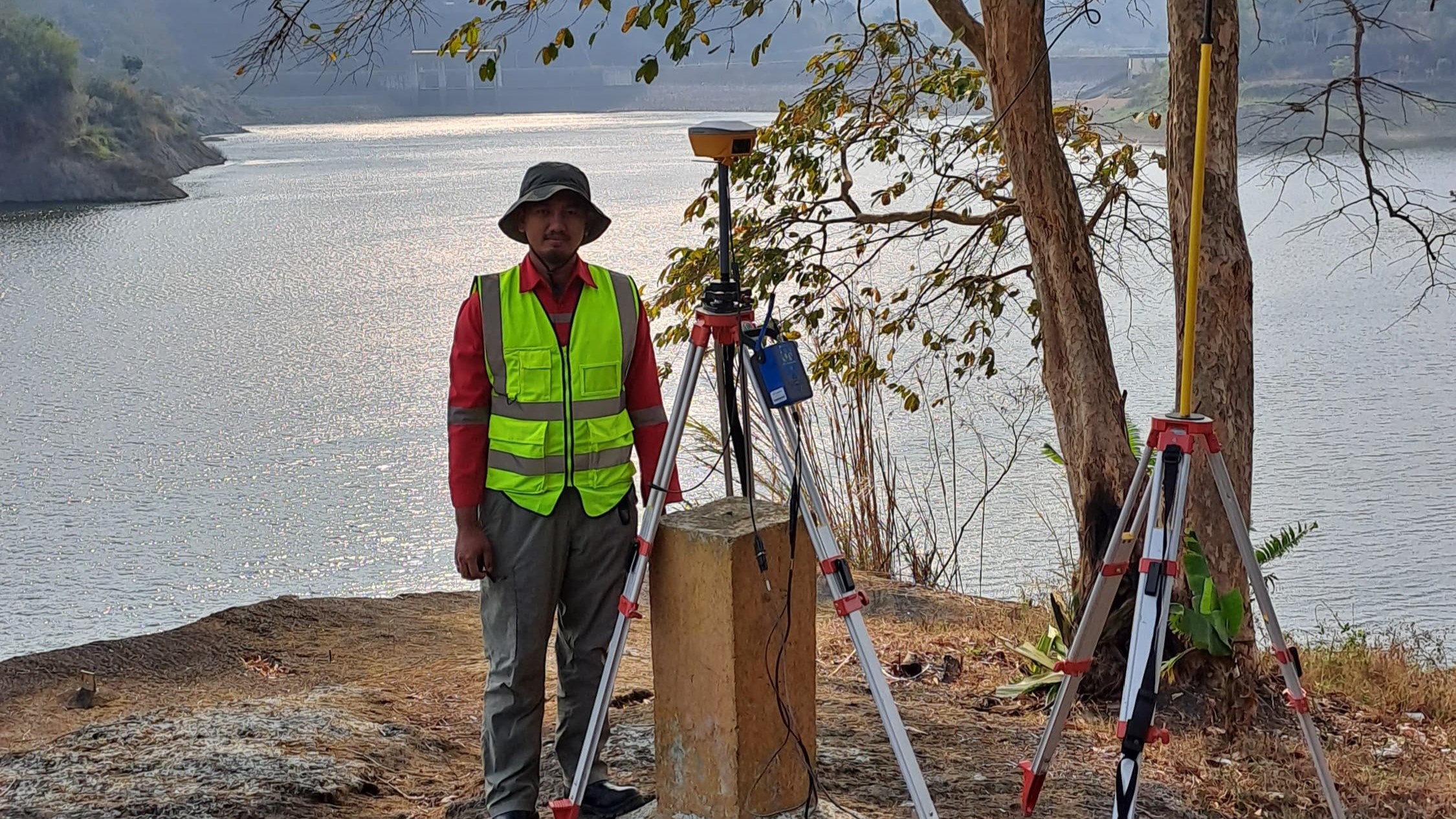
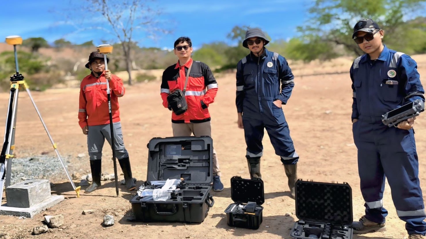
Tellus Meridian Survey (TMS) is a provider of geodesy/geomatics, geotechnical, and geophysical survey services that support various industrial needs, infrastructure projects, and research. We offer topographic surveys, GNSS-based mapping, hydrographic surveys, drone mapping (aerial photography and LiDAR), spatial data analysis and visualization (GIS), as well as comprehensive geotechnical and geophysical investigations.
By prioritizing professionalism, innovation, and data reliability, TMS ensures that every project is executed with precision, adheres to the highest ethical standards, and leverages the latest technology. Our experienced team is committed to being a trusted partner by emphasizing safety, collaboration, and service excellence.


vision
misi
- Creating a positive work environment by upholding professionalism and strong work ethics.
- Continuously innovating by utilizing the latest technology.
- Providing fast, accurate, and reliable survey data to meet the needs of various industries.
- Building long-term partnerships through high quality services that prioritize teamwork and safety
our value

Quality

Competence

Responsibility

Integrity & Trust

Solution-Oriented

